Australian Walking Stick Insects are Three Times Weirder Than You Think | PBS – Deep Look (2022)
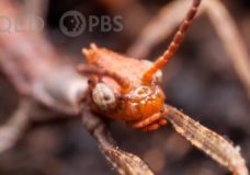
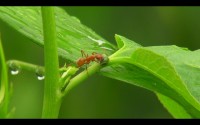
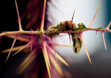
It is a seed, no it is an ant, no it is a leaf, no it is a stick,… Actually, it is all of the above through a temporally spaced sequence of disguises (*): It is the Australian walking stick (Extatosoma tiaratum). This insect is indeed a master of deception. It is a fascinating example of a series of adaptations that maximized its survival by multiple versions of mimicry successfully fooling predators at every stage of their life cycle. (*) […]


Recent Comments